|
Index...
|
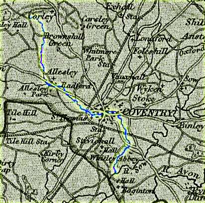
 s with virtually all major settlements, Coventry developed in the vicinity of a waterway. For well over a thousand years the River Sherbourne has been central to our town's history, and it is even feasible that it played a part in the naming of our city - its former alias being "Cune". This word might be the reason for the first half of Couaentree - a name by which our settlement was known in a Royal Charter from the middle of the 11th century.
For a little more information about the possible origins of the name "Coventry", please take a look at my history page.
The map here shows the full extent of the Sherbourne - beginning at Corley, then flowing for around ten miles past Allesley and Radford, through the city centre, then through Whitley, before finally merging into the River Sowe near Baginton, the Sowe ultimately flowing into the River Avon near Stoneleigh.
Although never a particularly large river, it used to be much more substantial than it is today, even prone to occasional flooding, perhaps the most remembered being around Spon Street in 1900/01.
During medieval times, the Sherbourne performed the task of acting as our moat around the eastern side of the city wall - a function that many rivers served for their towns.
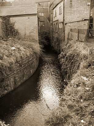
Unfortunately, our town centre now only allows us one brief glimpse of the Sherbourne, between long stretches of culverting, hidden away from view in concrete pipes below ground.
The photo on the right shows this short stretch at the side of Palmer Lane, as it looked in 2003, which itself is now no more than an alleyway entered from the Burges or Trinity Street. While we're by the river, it's also worth taking a look at the back of all the shops in the Burges, some of which are centuries old with more modern brick facades concealing an older timber frame.
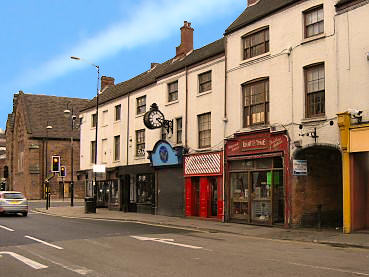
The 2006 photograph below shows the entrance to Palmer Lane from the Burges. If your mouse passes over the image, a close-up of Palmer Lane will be revealed. Also notice the Old Grammar School in the background.
Fortunately, if you're willing to walk a short distance from the town centre, there are still some pleasant views to be had of our river.
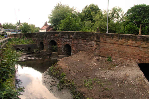
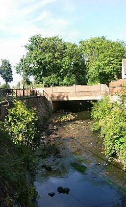
The first view below is at Spon End, where it passes under an old bridge, partly build from stone from the dismantled Spon Gate in the late 18th century. This bridge stands only a few yards from the remains of the medieval chapel of St. James & St. Christopher.
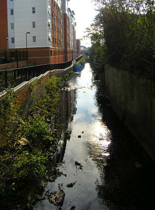
The second photograph was taken from near the junction of Gosford Street and Far Gosford Street, adjacent to where Gosford Gate once stood. This area has been improved in 2006-07 and now features a pleasant walkway alongside the newly built student accomodation. Hovering your mouse over that photo will reveal the way it looked back in 2002.
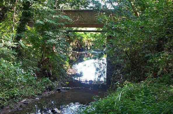
The third image is near to Acacia Avenue, and a little farther down the river is St. Anne's Charterhouse, once the home to Carthusian monks - the strictest order. It was near here that the final photograph in the sequence was taken.
In August 2006 two Urban Explorers, known mysteriously as "Dweeb and Raddog", bravely followed the complete culverted length of the Sherbourne, hidden deep beneath Coventry's town centre. You can see a plethora of their photographs on this '28 Days Later' forum page; 31st August 2006.
 |
|
|
 |
 |
|
Website by Rob Orland © 2002 to 2026